
The Levant mining disaster – The rugged coastline of Cornwall, in southwest England, hides a rich history etched deep beneath the earth. For centuries...
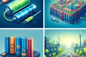
Different types of lithium ion batteries – Imagine a world without smartphones, laptops that last all day, or zippy electric cars. It might sound a bit...

VMS deposits in the world – Have you ever wondered where the metals in your phone or bike came from? Some of them might have been mined from a special...
Heavy mineral separation: Imagine rocks with a hidden superpower – they’re way heavier than they look! These special rocks are called heavy minerals...
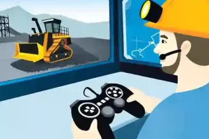
Remote control mining equipment: Mining is a tough job. Miners work in dangerous places, sometimes deep underground or in giant open pits. Luckily, technology...
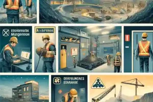
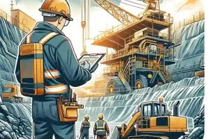
Mining inspection checklist – Mining is a tough but important job. Miners dig up valuable stuff that we use every day. But mines can be dangerous places...
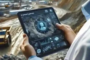
The biggest mining technology developments in 2024! The mining industry has seen amazing changes. New technologies are making mining safer, faster, and more...
How to become a mining engineer – Mining engineers are like treasure hunters. They design safe and smart ways to find valuable stuff hidden deep...
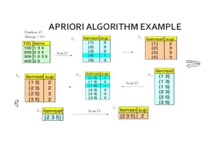
The apriori algorithm data mining is a method that helps uncover the association rules between different items in large datasets. It has become an essential...